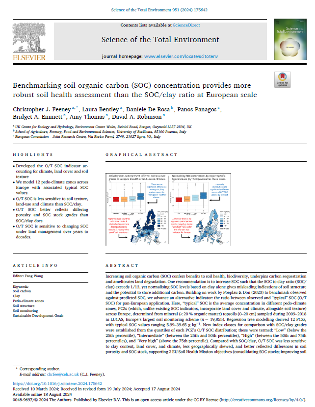
These maps from Feeney et al. (2024) illustrate the observed/typical soil organic carbon (SOC) index classes and the 12 pedoclimate zones, derived from LUCAS 2009-18 observations, to stratify the landscape into areas suitable for benchmarking soil organic carbon (SOC) concentrations for pan-European soil health assessment. Selected soil property maps from EcoDataCube (clay, sand and SOC concentration) for the year 2020 at 0 and 30 cm were aggregated to 0-30 cm depths and clipped to the extent of the EU-27 + UK. Next, the selected soil property maps were used to identify mineral soils (< 120 g/kg SOC) and classify soil types using the European Soil Map (HYPRES) soil texture classification scheme. The 2018 CORINE land cover map (100-metre raster) for Europe was clipped to the EU-27 + UK extent, with classes aggregated into either “Cropland”, “Semi-natural” or “N/A” categories according to the table in the Supplementary Text S1 in Feeney et al. (2024). Soil texture and SOC maps were resampled to 100 m resolution using the bilinear interpolation method in QGIS. These modified land cover and digital soil maps, together with the European Environment Agency’s Biogeographical regions map (rasterised to 100 m), was used to assign pedoclimate zones to a common 100 m grid. From this, Observed/typical SOC ratios could also be mapped using the mapped SOC values from EcoDataCube as “observed” values, and dividing by “typical” SOC values corresponding to each pedoclimate zone.
Title: Observed/typical SOC index classes and associated pedoclimate zones across the EU and UK
Description: Pedoclimate zones for the EU-27 + UK for circa 2018-2020 were estimated by combining spatial data layers representing biogeographical regions, soil texture and land cover class, according to the decision tree presented in Table 2 of Feeney et al. (2024). Observed/typical SOC index classes were then derived using the thresholds reported in the same table..
Spatial coverage: European Union (EU) + UK cropland and semi-natural habitats with mineral soils (< 120 g/kg soil organic carbon).
Pixel size: 100m
Temporal coverage: 2018.
Projection: ETRS89
Type of dataset: GeoTiff. Two files:
- pcz_eu_100m.tif: Byte 8-bit unsigned integer; 12 discrete classes coded by integers (1 to 12)
- obs_typ_soc_index_eu_100m.tif: Byte 8-bit unsigned integer; 4 discrete classes coded by integers 1 to 4
You ae advised to download also the integer codes for the interpreting the maps.
Reference: Feeney, C. J., Bentley, L., De Rosa, D., Panagos, P., Emmett, B. A., Thomas, A., & Robinson, D. A. (2024). Benchmarking soil organic carbon (SOC) concentration provides more robust soil health assessment than the SOC/clay ratio at European scale. Science of the Total Environment, 951, 175642. DOI: https://doi.org/10.1016/j.scitotenv.2024.175642