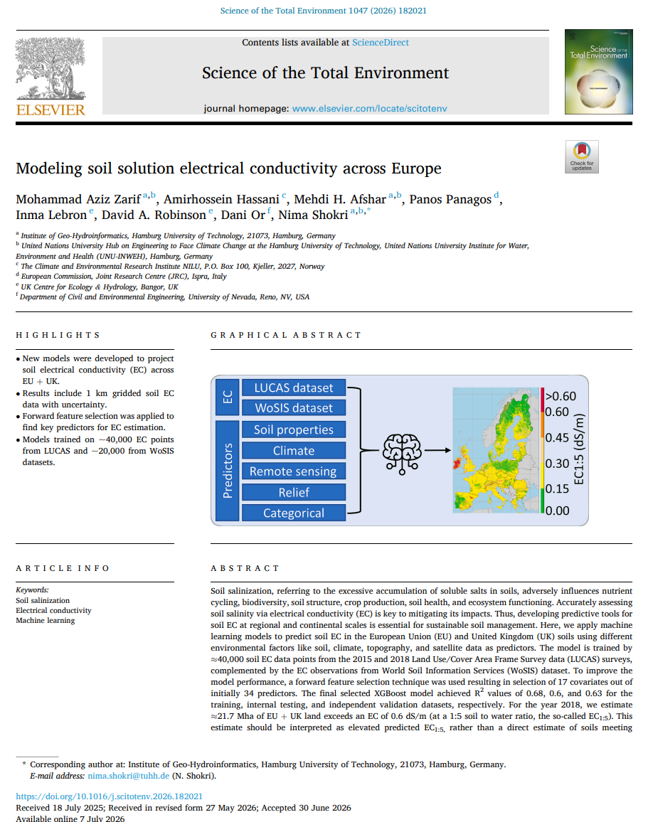
Title: Soil electrical conductivity across Europe
Description: Soil salinization, referring to the excessive accumulation of soluble salts in soils, adversely influences nutrient cycling, biodiversity, soil structure, crop production, soil health, and ecosystem functioning. Accurately assessing soil salinity via electrical conductivity (EC) is key to mitigating its impacts. The geotiff raster files contains the per cell predicted EC1:5 values at a spatial resolution of 1Km for the years 2015 and 2018, covering EU member states and UK. Here, we apply machine learning models to predict soil EC in the European Union (EU) and United Kingdom (UK) soils using different environmental factors like soil, climate, topography, and satellite data as predictors. The model is trained by ≈40,000 soil EC data points from the 2015 and 2018 Land Use/Cover Area Frame Survey data (LUCAS) surveys, complemented by the EC observations from World Soil Information Services (WoSIS) dataset
Spatial coverage: EU27+ UK (agricultural lands)
Pixel size: 1kmx1kmm - Type of dataset: GeoTIFF (.tif)
Temporal coverage: 2015, 2018
Projection: ETRS 1989 LAEA (EPSG: 3035).
Reference: Zarif, M.A., Hassani, A., Afshar, M.H., Panagos, P., Lebron, I., Robinson, D.A., Or, D. and Shokri, N., 2026. Modeling soil solution electrical conductivity across Europe. Science of The Total Environment, 1047: 182021.